SightPlan 3D

Redefining Imaging

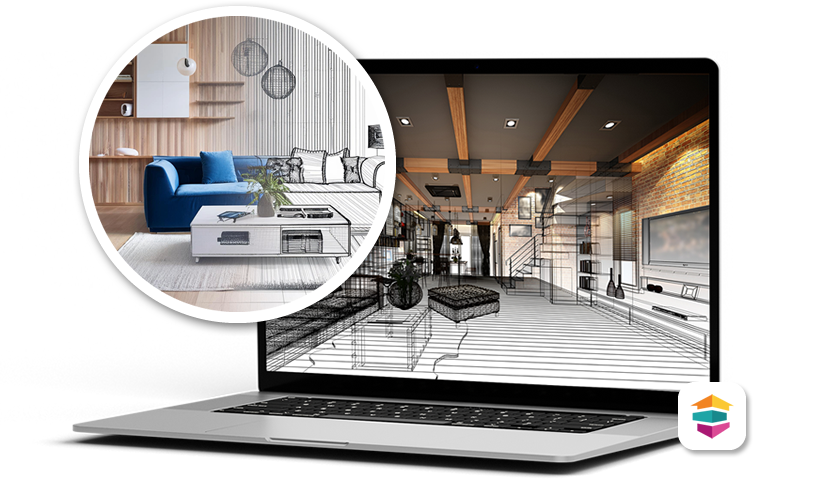
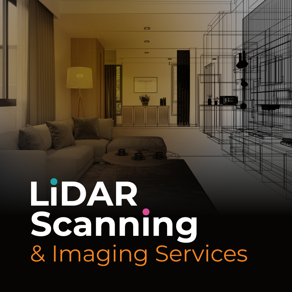
SightPlan 3D provides precise, high-resolution LiDAR scanning and 3D spatial imaging services tailored for a wide range of professional needs. Whether you’re documenting property damage after a disaster for insurance claims, capturing detailed site plans for architectural development, or conducting commercial space assessments, our advanced scanning technology delivers highly accurate spatial data and immersive visual records.

CUTTING EDGE SOLUTIONS

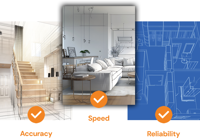
Accuracy, speed, and reliability are the pillars of our service. By leveraging LiDAR technology, we eliminate the limitations of traditional survey methods. This reduces field time, enhancing safety, and delivering a level of detail that supports better planning and risk mitigation.

Cutting Edge Solutions
Precision & Accuracy

PRECISION & ACCURACY

Our workflow is built for efficiency and precision.

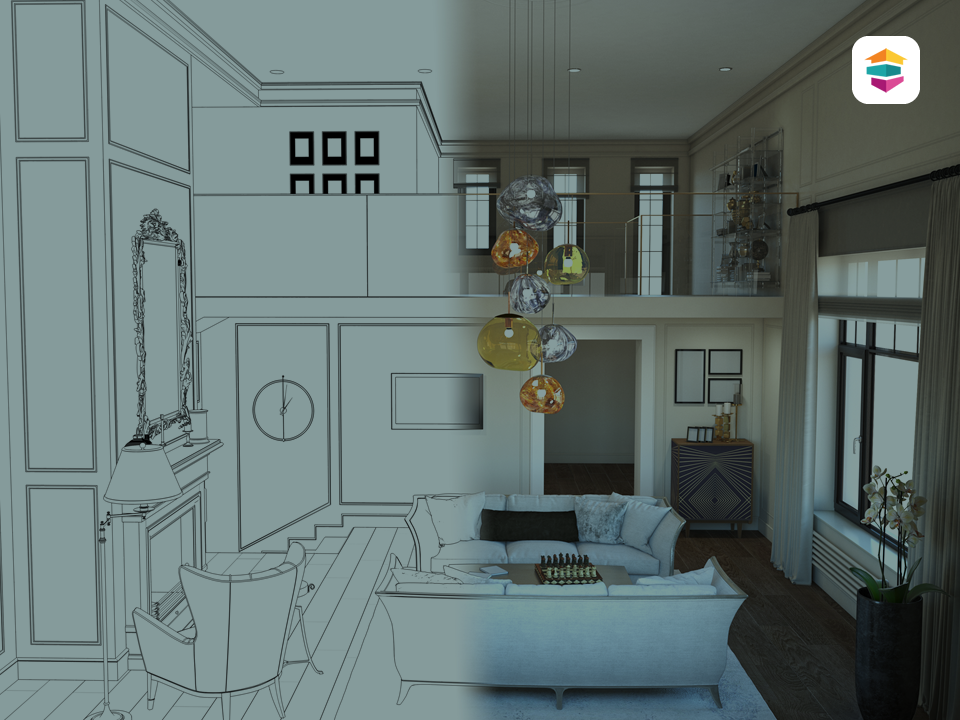
Each project begins with a detailed consultation to understand your objectives and constraints. We then deploy the most suitable scanning solution, capturing millions of data points per second to generate dense point clouds and detailed imagery.

SERVING MULTIPLE INDUSTRIES

SightPlan 3D provides precise, high-resolution LiDAR scanning and 3D spatial imaging services tailored for a wide range of professional needs. Whether you’re documenting property damage after a disaster for insurance claims, capturing detailed site plans for architectural development, or conducting commercial space assessments, our advanced scanning technology delivers highly accurate spatial data and immersive visual records.

READ MORE →

OUR SPECIALTIES

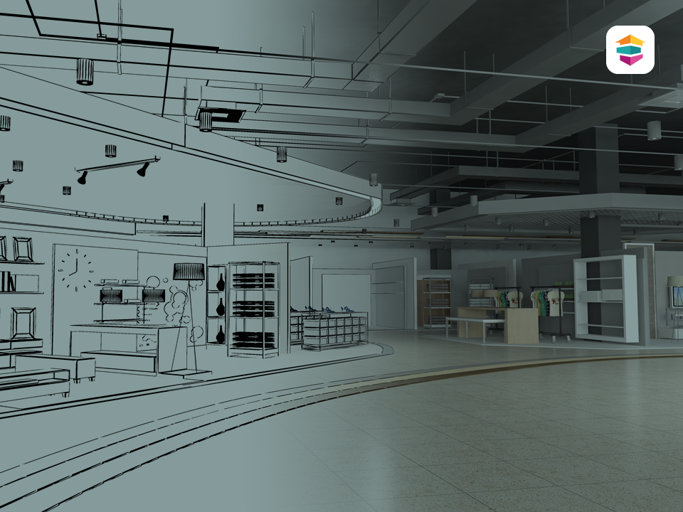
Using advanced scanning systems, we create detailed visual and spatial records that support everything from emergency recovery evaluations to building design and space utilization planning. Our solutions help professionals make faster, smarter decisions backed by reliable data.