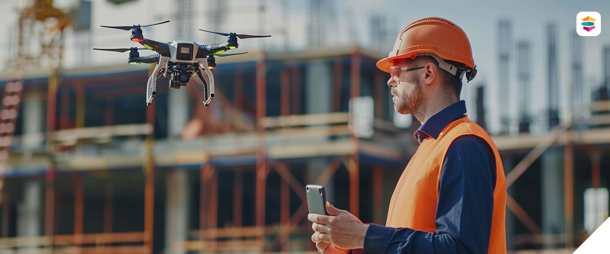
Our aerial drone imaging services offer high-resolution overhead perspectives that complement our ground-based LiDAR scans and provide a complete visual and spatial understanding of any site. Using FAA-compliant drones equipped with advanced cameras and sensors, we capture detailed aerial imagery and video ideal for surveying large properties, assessing damage after disasters, mapping terrain, and supporting planning or inspection processes. These views can be used independently or integrated with our 3D modeling and CAD services to provide a valuable layer of insight for real estate marketing, construction oversight, insurance documentation, and architectural analysis. Each flight is tailored to your project scope and delivered in accessible formats optimized for reporting, presentations, and design workflows.
