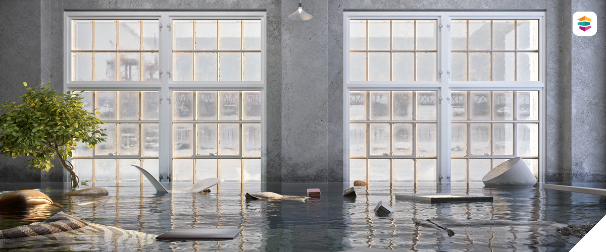
Scans created for disaster documentation purposes provide precise, time-stamped records of property conditions following natural or man-made disasters. Damage from fire, flooding, storms, or structural collapse is captured as a detailed 3D representation of the affected site, which can provide objective, measurable data to support insurance claims, legal documentation, and restoration planning. Unlike traditional photography, LiDAR scans preserve exact spatial relationships and surface conditions, helping adjusters, contractors, attorneys and property owners clearly assess the extent of the damage. We deliver comprehensive visual reports and CAD-compatible models that can be referenced throughout the claims and repair process.