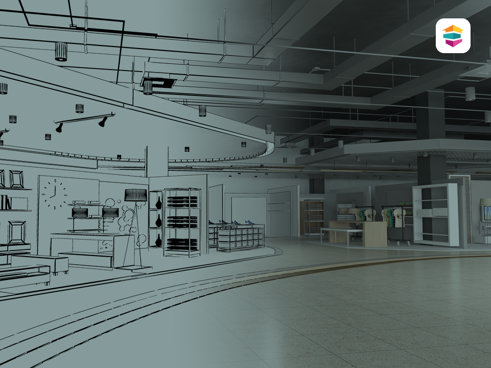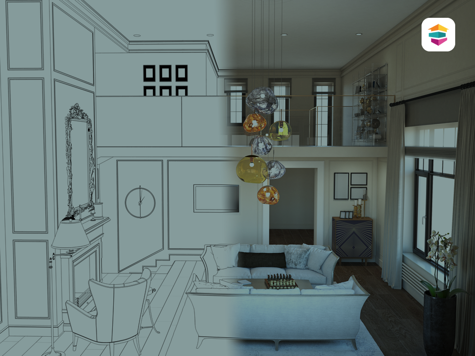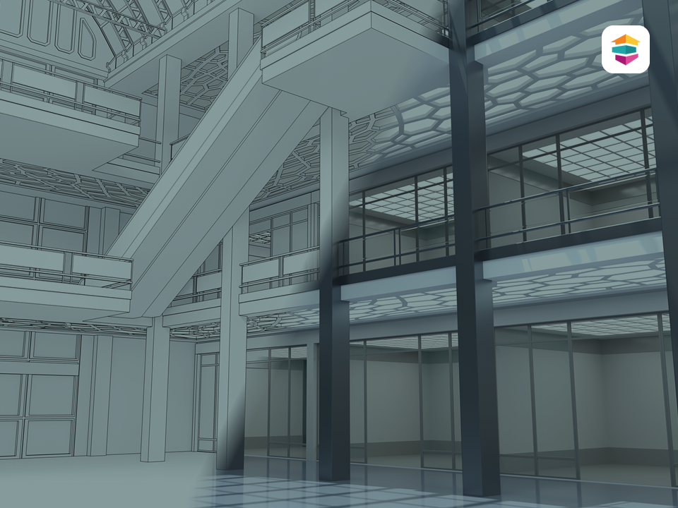
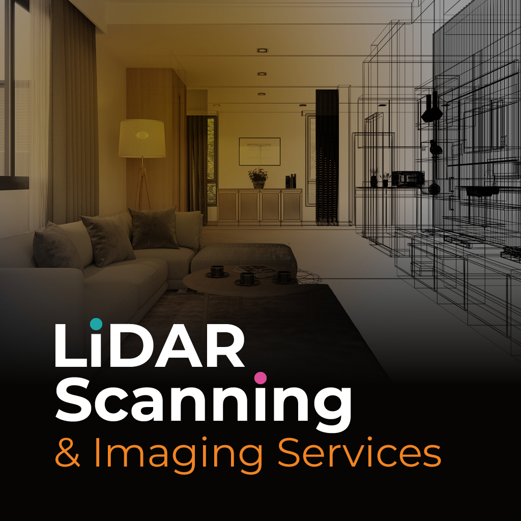

SERVING MULTIPLE INDUSTRIES
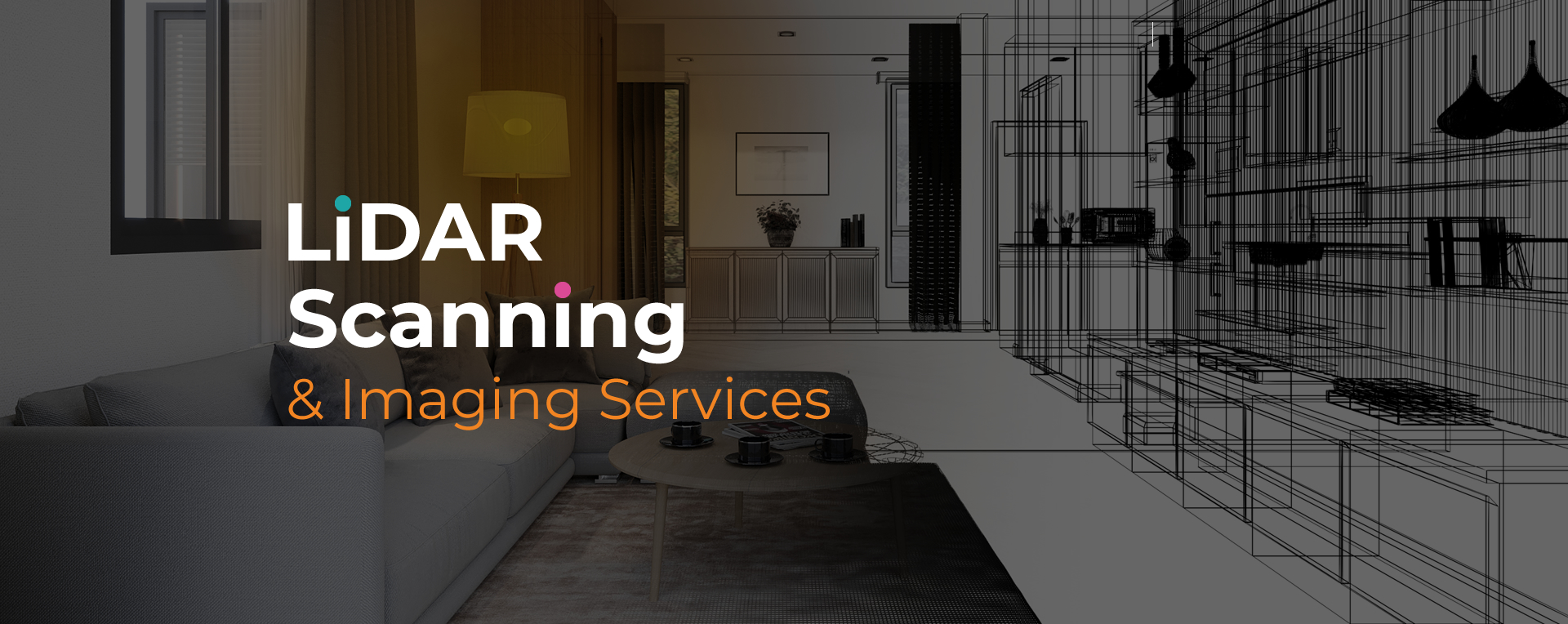
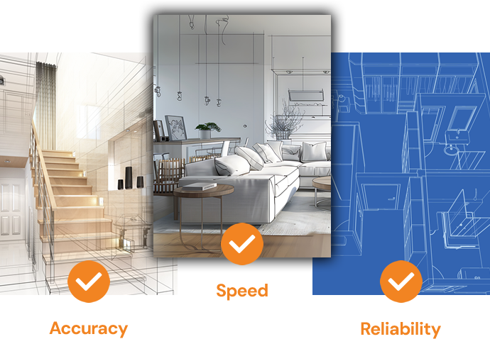
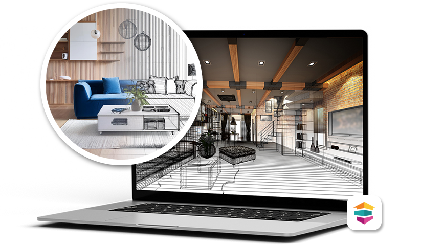
SightPlan 3D provides precise, high-resolution LiDAR scanning and 3D spatial imaging services tailored for a wide range of professional needs. Whether you’re documenting property damage after a disaster for insurance claims, capturing detailed site plans for architectural development, or conducting commercial space assessments, our advanced scanning technology delivers highly accurate spatial data and immersive visual records.