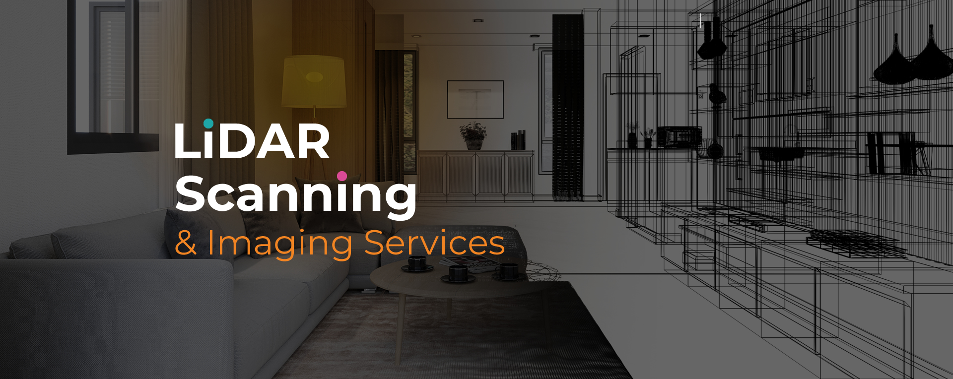
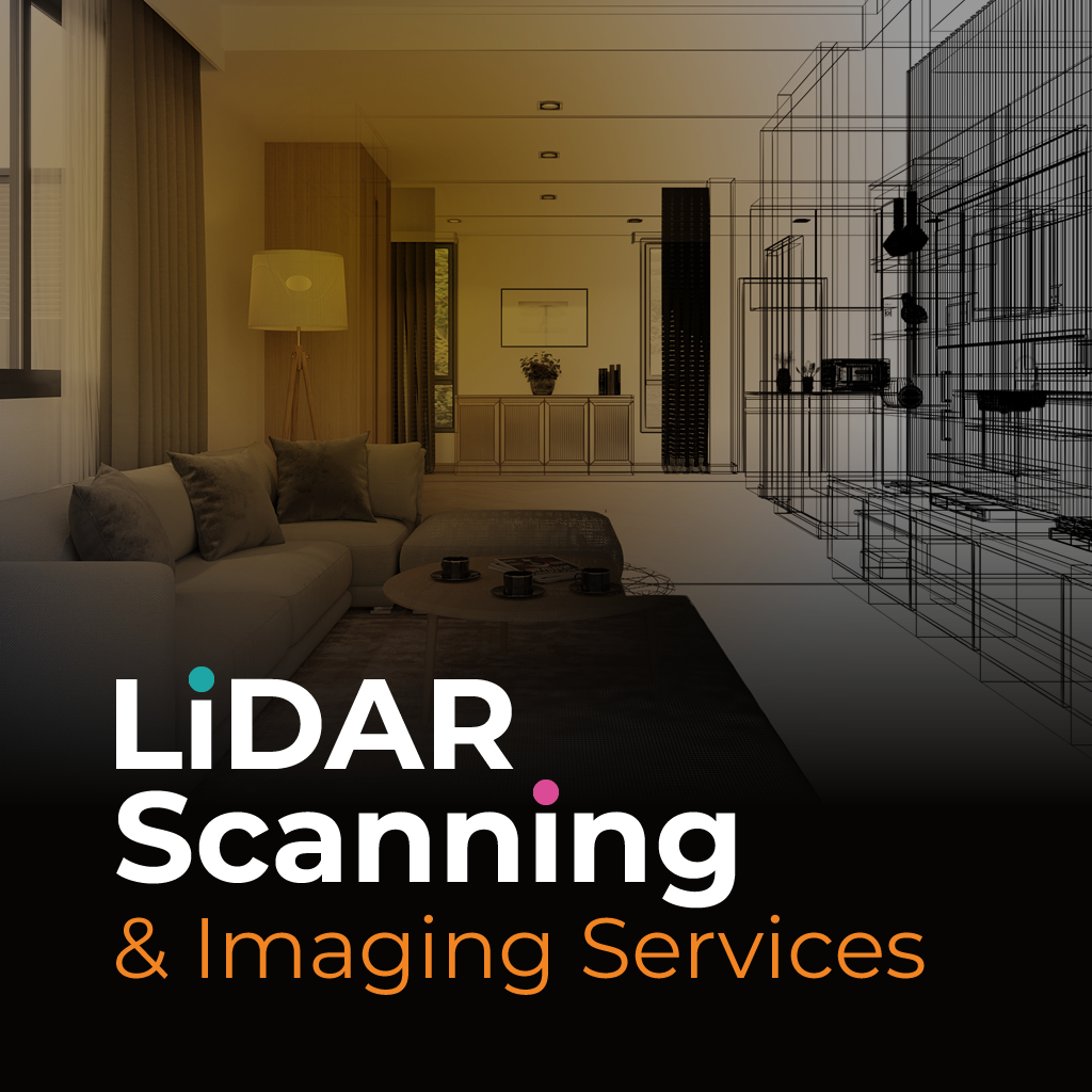
Project delays often begin with incomplete or unclear site information. LiDAR site scanning Pompano Beach provides a reliable way to capture accurate spatial data before planning or development moves forward.
By using laser-based technology, site conditions can be reviewed without relying on estimates or outdated drawings. This approach supports clearer communication and helps teams make informed decisions earlier in the process.
We provide LiDAR site scanning Pompano Beach to help professionals address common challenges related to site visibility and data accuracy. Our scanning process captures detailed spatial information that reflects real conditions across varied environments.
Through LiDAR site scanning Pompano Beach, we deliver dependable data that supports planning, documentation, and verification. Our focus is on producing clear outputs that reduce uncertainty and improve coordination between teams.
Accurate site data helps prevent costly corrections and missed details. We deliver reliable scanning results that support efficient planning and confident decision-making. Contact us today to discuss your site needs and receive dependable LiDAR-based documentation.
Feel free to call or email us at anytime. We look forward to exceeding your expectations in everything we do.