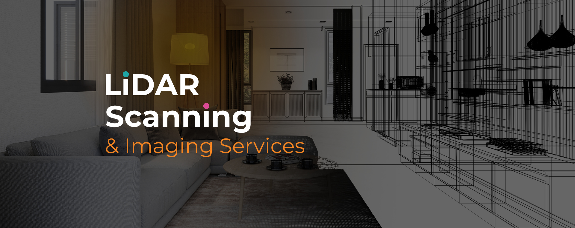
LiDAR site scanning in Pembroke Pines is widely used to capture accurate site data for a variety of professional applications. By using advanced laser technology, the method records millions of points to generate precise digital models. These records provide reliable references for planning, construction, and documentation.
The importance of LiDAR site scanning Pembroke Pines lies in its ability to simplify complex projects. Whether for building design, commercial assessments, or insurance reporting, the data supports faster analysis and reduces costly mistakes. This technology gives teams dependable information to work with from the earliest stages of a project.
Sight Plan 3D provides LiDAR site scanning Pembroke Pines with a focus on efficiency and accuracy. Our process starts with a consultation to understand your objectives, followed by on-site scanning that captures every detail.
We convert raw data into usable deliverables, including CAD files, 2D plans, or immersive 3D tours. These outputs give professionals clear insights to move their projects forward with confidence. From disaster documentation to architectural design, our services are built to support industry needs with consistent, precise results.
Our team at Sight Plan 3D is dedicated to delivering quality scans that help clients manage projects effectively. With reliable equipment and tailored deliverables, we provide results that meet professional standards. Contact us today to discuss your project requirements.
Feel free to call or email us at anytime. We look forward to exceeding your expectations in everything we do.