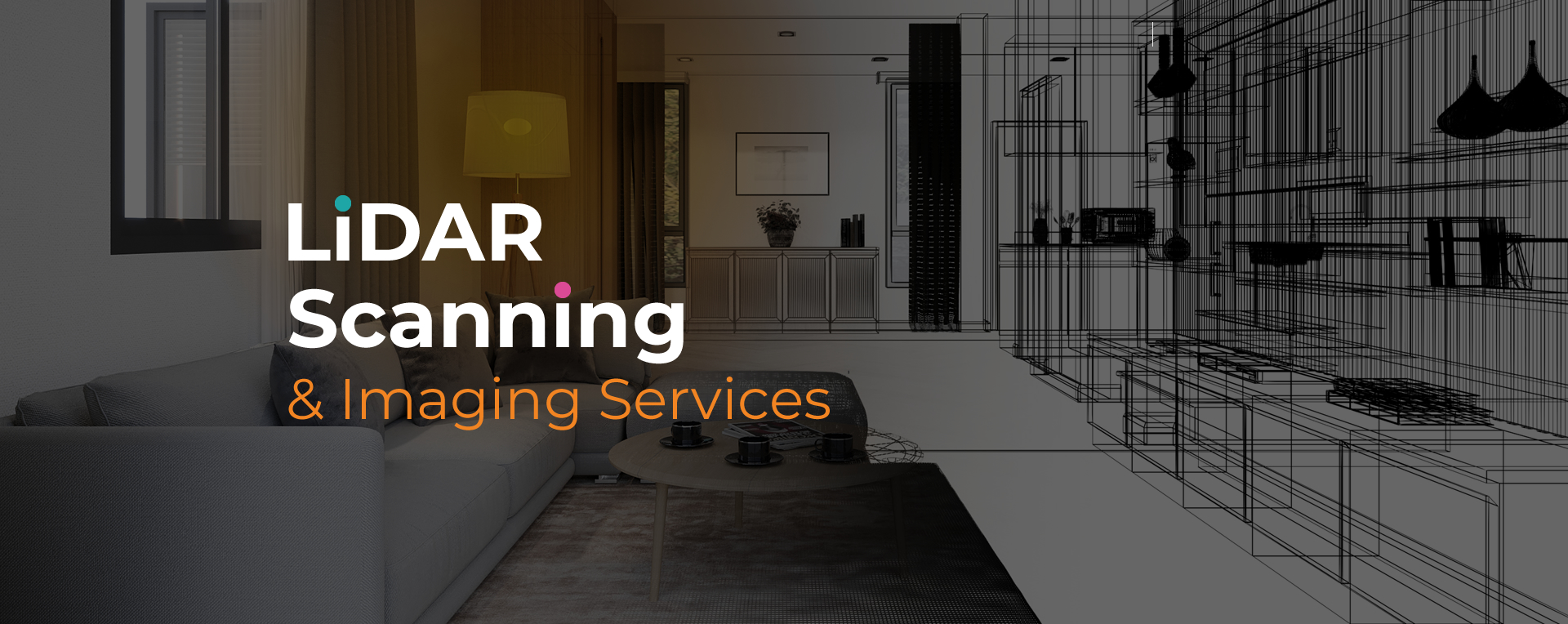
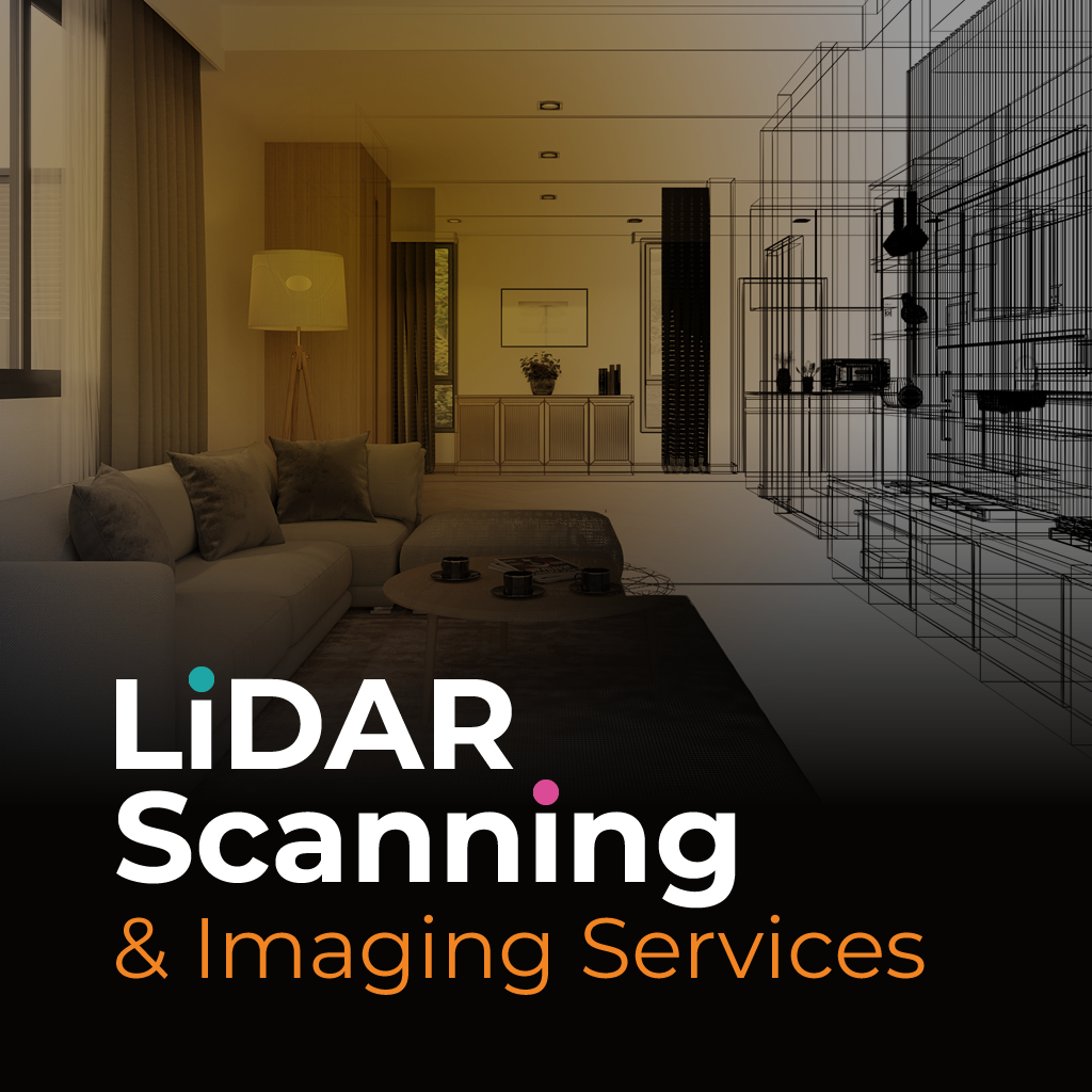
LiDAR site scanning Deerfield Beach is a precise method for collecting three-dimensional data of land, buildings, and structures. By projecting laser pulses and recording their return, this process creates reliable maps and models with measurable detail. Professionals in construction, planning, and insurance use this technology to access dependable datasets that support informed decisions.
Unlike traditional surveying, LiDAR site scanning Deerfield Beach reduces time spent in the field and produces higher-resolution results. It also improves safety by minimizing manual data collection in challenging environments. The detailed scans provide lasting documentation that can be used for future planning, compliance, and verification needs.
Sight Plan 3D offers LiDAR site scanning Deerfield Beach tailored to industry-specific requirements. Our team uses advanced equipment to capture millions of data points and convert them into accessible outputs such as CAD files, 2D plans, and 3D models.
We focus on delivering accurate results quickly, so projects can move forward without delay. Whether documenting existing structures, planning new developments, or supporting insurance claims, Sight Plan 3D provides reliable imaging and data that professionals can apply with confidence.
Sight Plan 3D provides LiDAR site scanning services that deliver accuracy and efficiency. Contact us today to discuss your project and receive deliverables you can trust.
Feel free to call or email us at anytime. We look forward to exceeding your expectations in everything we do.