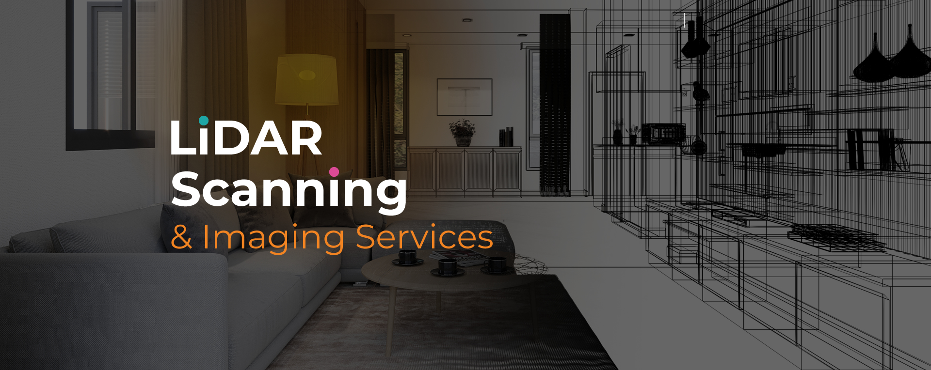
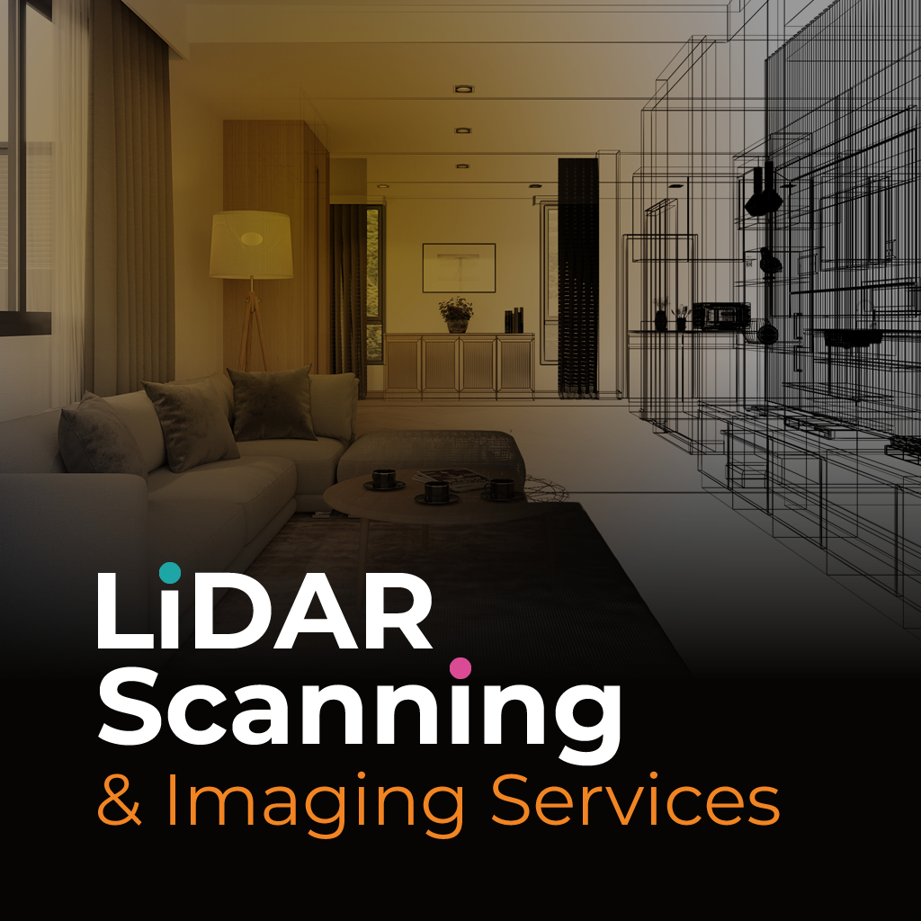
Lidar site scanning Boca Raton captures millions of precise data points that build detailed records of sites, structures, and environments. This technology provides accurate three-dimensional results that help reduce errors and deliver valuable insight for project planning. By applying lidar scanning methods, professionals can create reliable datasets for long-term use across industries.
With lidar site scanning Boca Raton, teams can document existing conditions more efficiently than traditional methods. The process improves safety by reducing the need for extended on-site work while producing highly accurate measurements. These outputs are valuable for architects, engineers, and insurers who need dependable documentation for reporting, modeling, or assessments.
At Sight Plan 3D, our lidar site scanning Boca Raton service is designed to meet the specific demands of diverse industries. We combine advanced technology with efficient workflows to deliver dependable results, whether the project involves property evaluations, construction planning, or insurance documentation.
Our deliverables range from 2D drawings and CAD files to immersive 3D tours and aerial imaging. Every output is produced with clarity and precision, making them practical for immediate use in professional environments. Sight Plan 3D prioritizes accuracy, speed, and consistency, helping clients complete projects with reliable spatial data they can trust.
Sight Plan 3D provides lidar site scanning services that support planning, design, and documentation. Reach out today to discuss your project and receive data you can depend on.
Feel free to call or email us at anytime. We look forward to exceeding your expectations in everything we do.