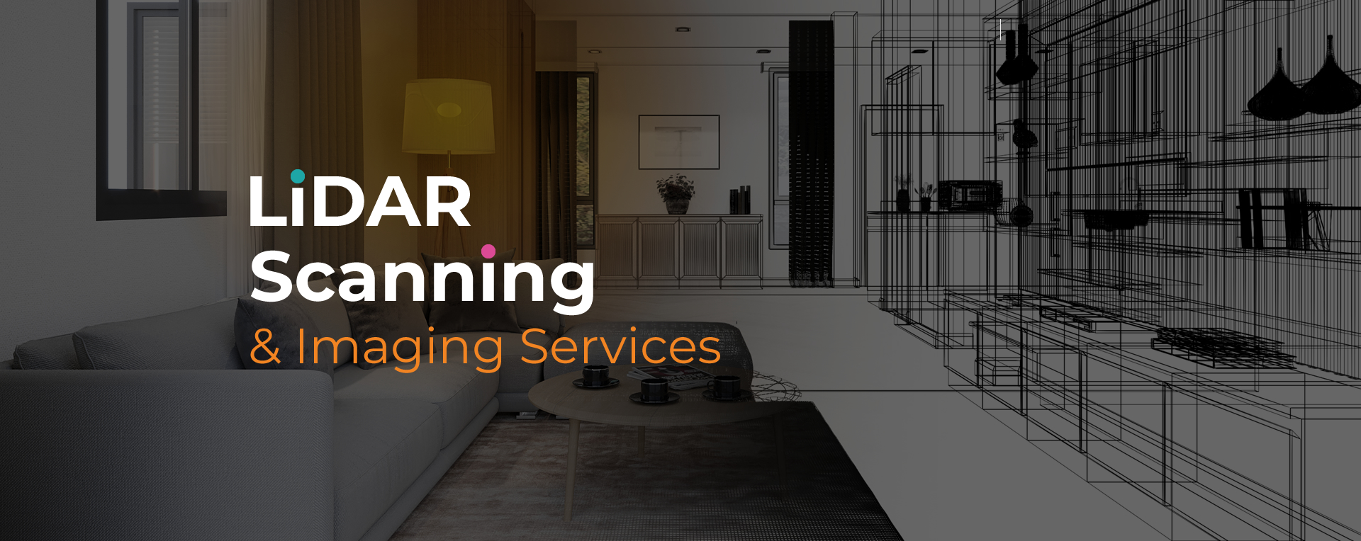
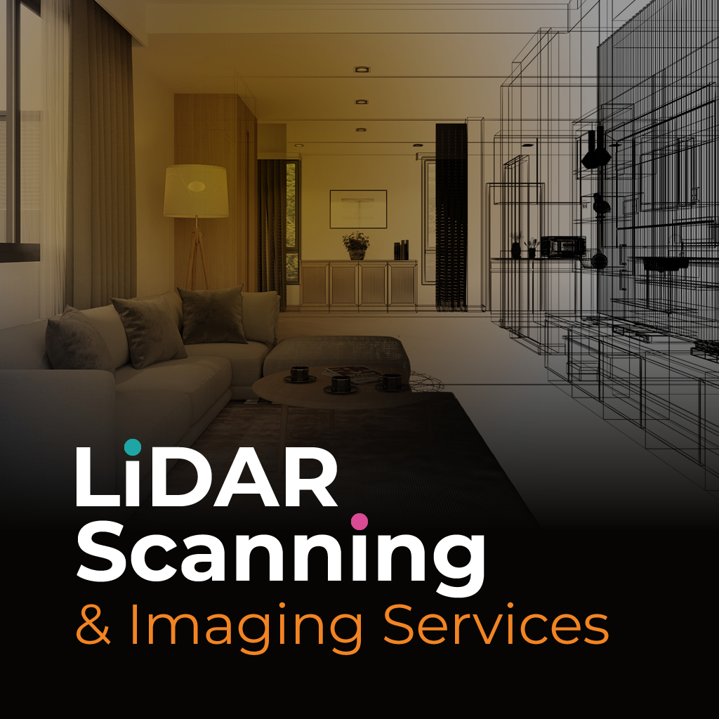
LiDAR imaging for architects in Parkland provides advanced site data collection that supports both design and construction. By using laser scanning technology, professionals can create precise 3D models of existing spaces, giving them accurate information before beginning design work. This level of precision helps reduce errors, save time, and improve project efficiency.
The growing use of LiDAR imaging for architects Parkland highlights its importance in modern practice. From residential design to large commercial developments, the technology provides accurate site documentation that can be adapted into digital deliverables. Architects benefit from reliable data that improves decision-making and supports more effective planning.
Sight Plan 3D delivers LiDAR imaging for architects Parkland with a focus on precision and usability. Our process begins with an initial consultation to understand your project’s requirements, followed by scanning that captures millions of detailed points across the site.
Once captured, the data is processed into CAD files, 2D drawings, and 3D models that architects can use directly in their design software. This creates a smooth workflow from documentation to design. Whether you’re planning a new build, redesigning an existing property, or preparing for compliance reviews, our imaging services provide dependable results you can count on.
At Sight Plan 3D, we provide architects with the information they need to move projects forward efficiently. Contact us today to schedule LiDAR imaging for your next project in Parkland.
Feel free to call or email us at anytime. We look forward to exceeding your expectations in everything we do.