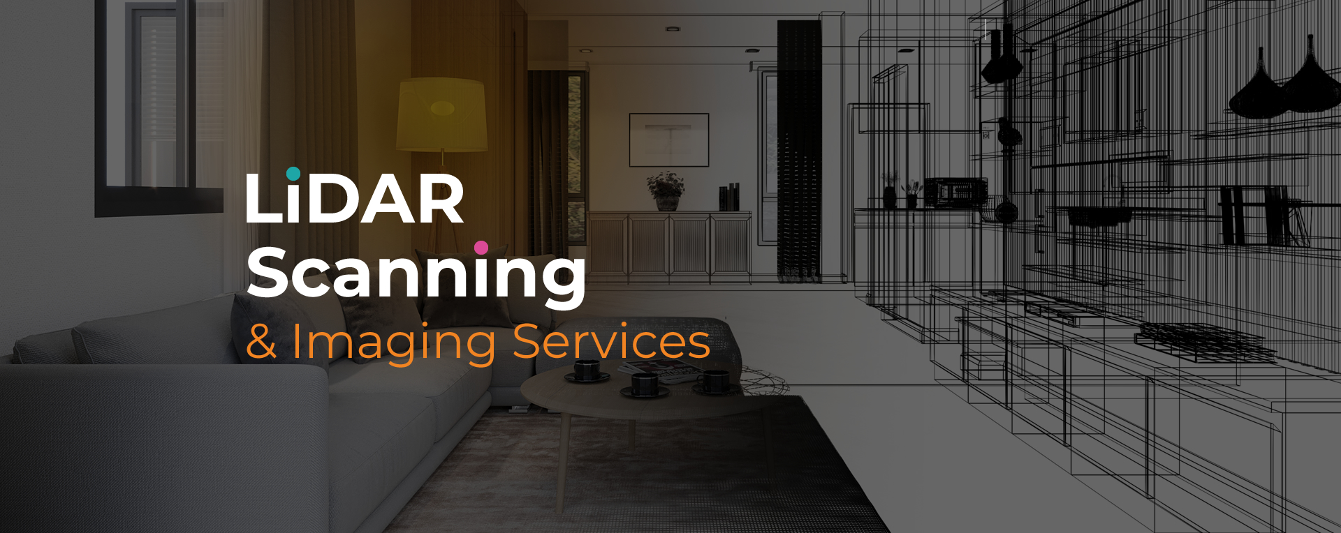
LiDAR imaging for architects Fort Lauderdale provides high-resolution data that enhances design accuracy and planning efficiency. By capturing millions of laser measurements, this technology creates precise 3D models and site records. Architects benefit from dependable visuals that reduce guesswork and support smarter project development.
Using LiDAR imaging for architects Fort Lauderdale improves workflows by shortening fieldwork and eliminating gaps in documentation. The scans deliver comprehensive datasets that integrate seamlessly with design software. These records help architects save time, avoid costly errors, and plan with confidence throughout the design and construction process.
At Sight Plan 3D, we specialize in LiDAR imaging for architects Fort Lauderdale, providing data that supports every stage of design and planning. Our advanced equipment captures precise details of buildings and sites, enabling accurate integration into CAD and BIM platforms.
We deliver outputs such as 3D models, floor plans, and elevation data tailored to architectural needs. By combining precision and efficiency, Sight Plan 3D ensures architects have reliable datasets that support design validation, renovation planning, and long-term project documentation.
Sight Plan 3D provides reliable LiDAR imaging tailored for architects. Contact us today to discuss how accurate site data can enhance your next project.
Feel free to call or email us at anytime. We look forward to exceeding your expectations in everything we do.