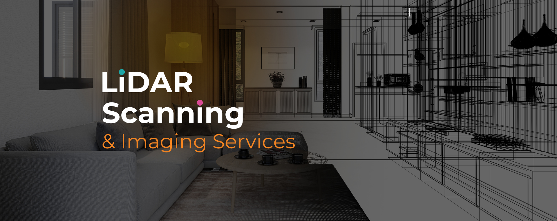
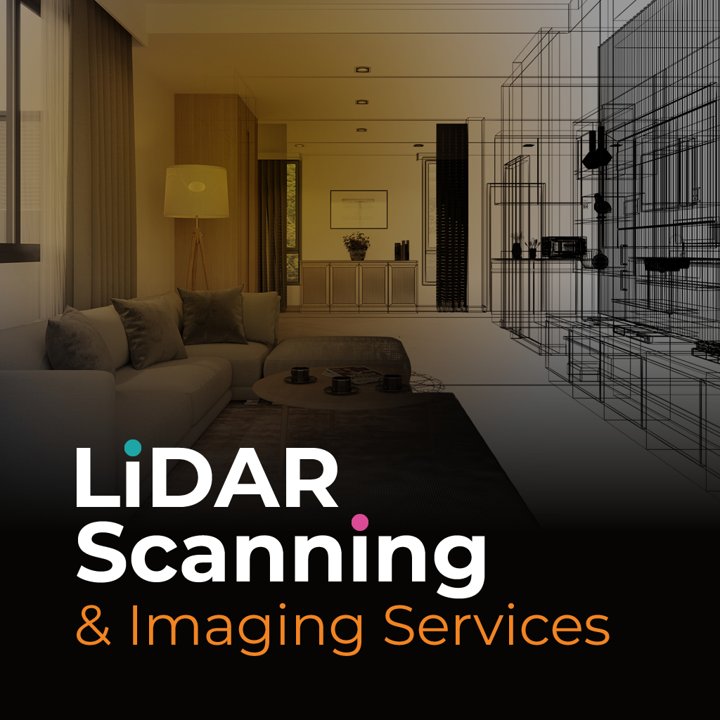
LiDAR imaging for architects in Coral Springs is changing the way professionals approach design and planning. By using laser-based scanning, this technology captures highly detailed site data and generates accurate 3D models of structures, landscapes, and interiors. These digital records allow architects to work with reliable information from the earliest stages of a project.
The value of LiDAR imaging for architects Coral Springs lies in its ability to combine speed with precision. Instead of relying on traditional surveying methods that may miss critical details, architects can now access high-resolution data that reduces errors and improves design accuracy. This level of clarity supports more efficient workflows, better collaboration, and stronger results.
At Sight Plan 3D, our LiDAR imaging for architects Coral Springs is designed to provide consistent, high-quality outputs. Our process begins with a consultation to understand your design objectives, followed by on-site scanning with advanced laser equipment capable of capturing millions of data points in minutes.
We deliver the processed data in formats architects use every day, including CAD files, REVIT models, and interactive 3D views. These deliverables allow you to move seamlessly from site analysis to detailed design. Whether you’re working on new construction, renovation, or restoration, our imaging services provide a dependable foundation that helps you achieve project goals with confidence.
Sight Plan 3D offers architects the clarity needed to create accurate, efficient, and innovative designs. Contact us today to schedule your LiDAR imaging project in Coral Springs and experience reliable results tailored to your needs.
Feel free to call or email us at anytime. We look forward to exceeding your expectations in everything we do.