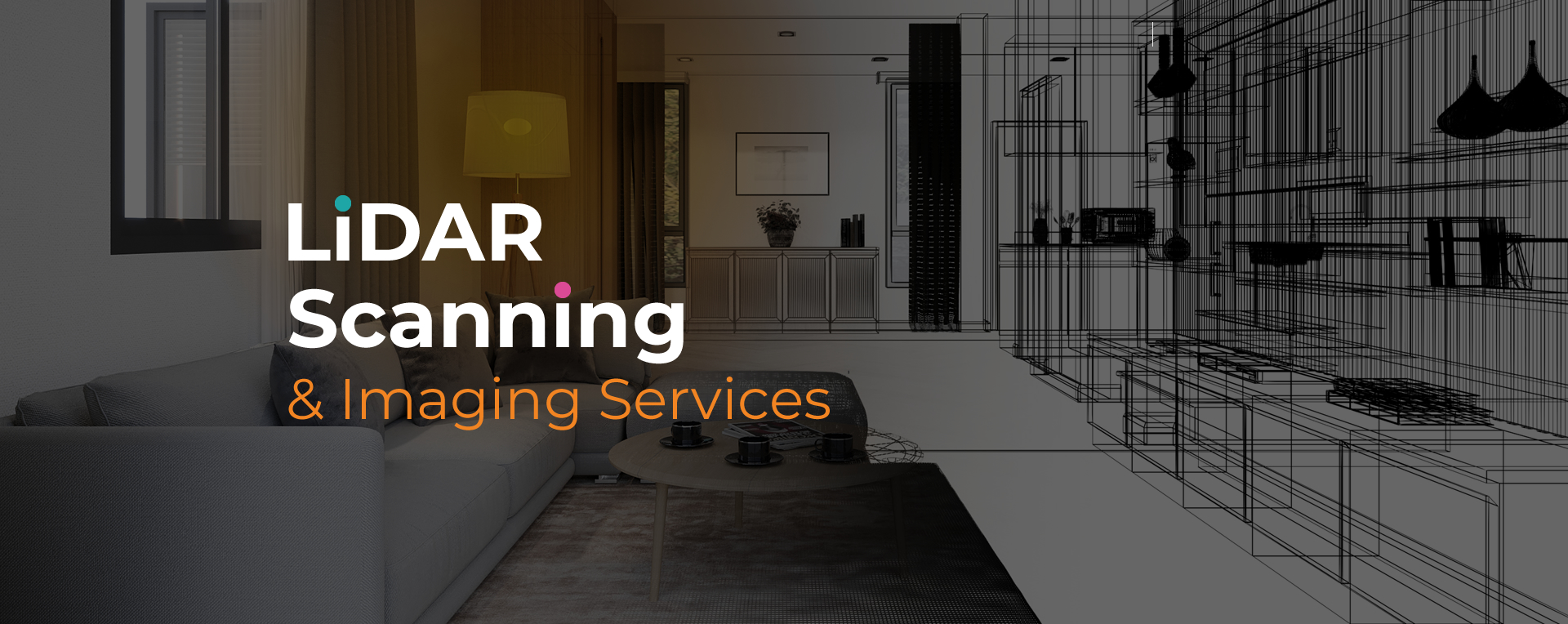
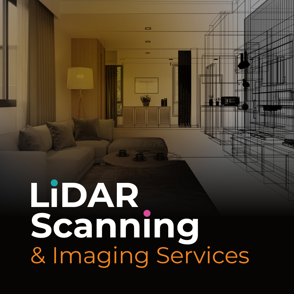
3D laser site scanning in Plantation is used to capture precise spatial data across a variety of professional fields. The method employs advanced laser technology to create detailed digital representations of structures, landscapes, and interiors. These scans serve as valuable references for design, documentation, and assessment.
The advantage of 3D laser site scanning Plantation lies in its ability to deliver consistent and highly accurate information. Industries such as construction, architecture, and insurance rely on the data to reduce errors, cut down on site visits, and improve decision-making. The result is more efficient workflows and reliable outcomes.
At Sight Plan 3D, our 3D laser site scanning Plantation services focus on delivering quality results quickly and accurately. We begin with a consultation to understand your project needs, then carry out scanning with specialized equipment that captures millions of data points in high resolution.
We process this data into usable outputs, such as CAD files, 2D drawings, or interactive 3D models. These deliverables help professionals in Plantation work with dependable references, whether planning a new development, assessing property conditions, or managing insurance documentation.
Our team provides professional scanning services designed to give you the clarity needed for better planning and reporting. Contact Sight Plan 3D today to discuss how our services can support your next project in Plantation.
Feel free to call or email us at anytime. We look forward to exceeding your expectations in everything we do.