Site assessment errors, missed measurements, and delays caused by repeat visits are all common issues in construction, insurance, and planning projects. Traditional methods often rely on manual processes that are time-consuming and prone to inaccuracy, especially on large or complex properties.
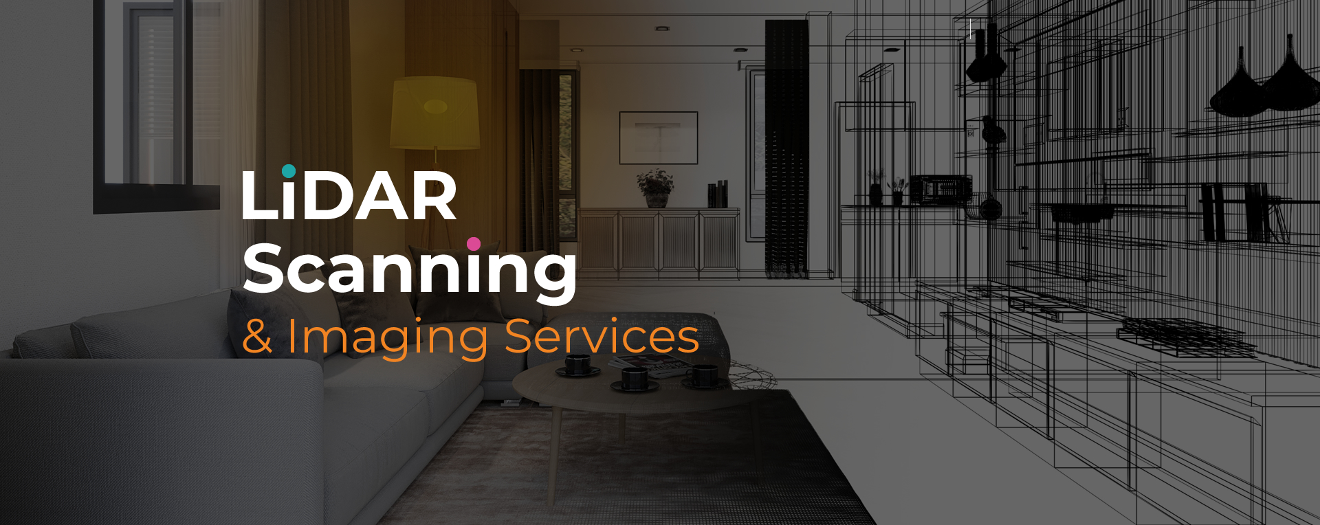
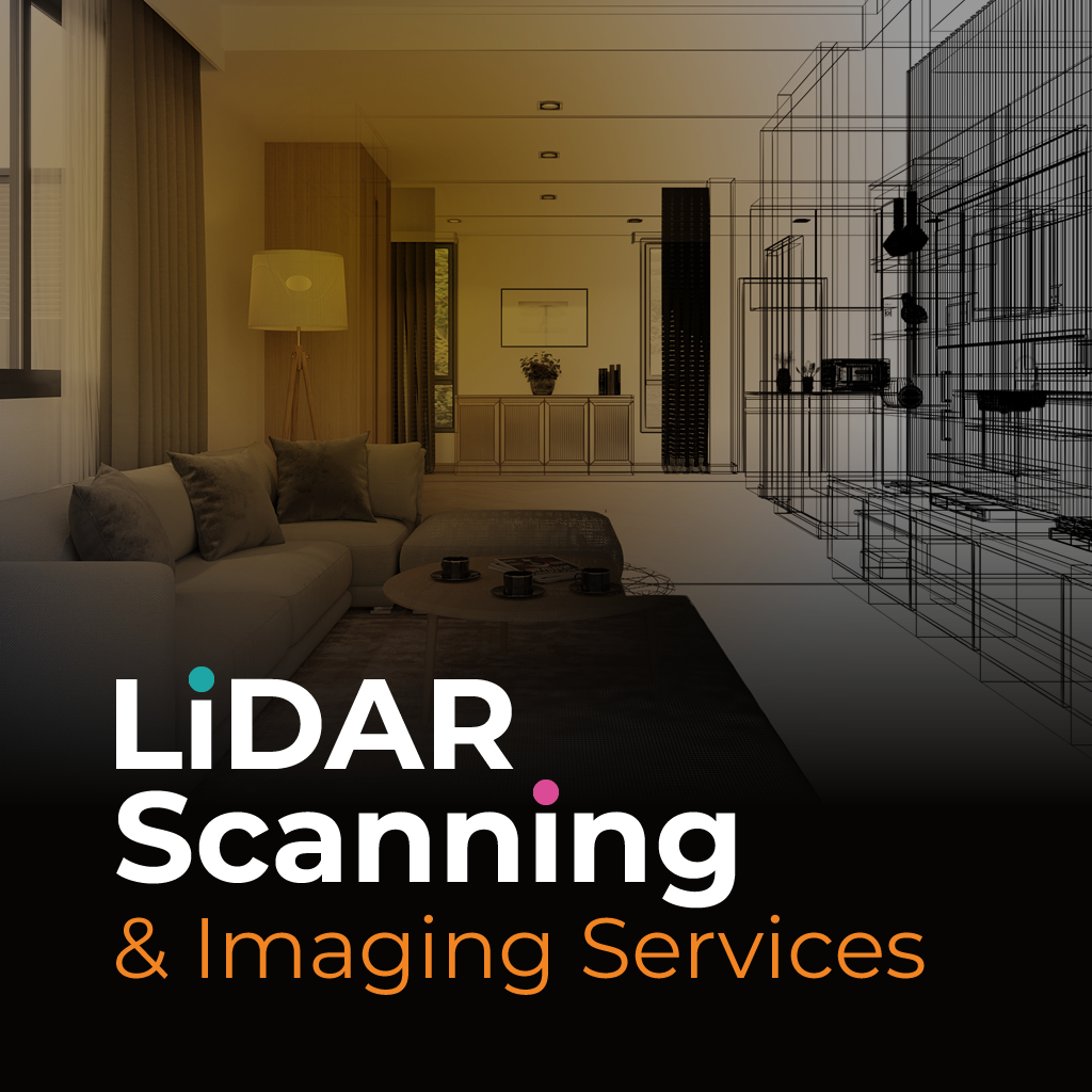
LiDAR site scanning Parkland offers a dependable solution. It captures millions of data points in real time, producing precise measurements and 3D visuals in significantly less time than traditional surveys. The result is accurate documentation that minimizes costly rework and reduces the risk of missing critical details during assessments.
SightPlan 3D provides tailored LiDAR site scanning Parkland to address challenges in spatial documentation, especially where manual surveys fall short. Our advanced tools help clients in construction, insurance, and commercial real estate achieve more consistent, verifiable results with less time spent on site.
We begin with a clear understanding of your project’s goals, then use laser scanning equipment to capture full-site data safely and efficiently. Whether you need 2D plans, 3D models, or detailed digital records, we process and deliver your files in formats ready for immediate application in your workflow.
If measurement errors or time constraints have disrupted your projects in the past, we’re ready to help. Our LiDAR scanning provides clarity, speed, and accurate deliverables tailored to your goals.