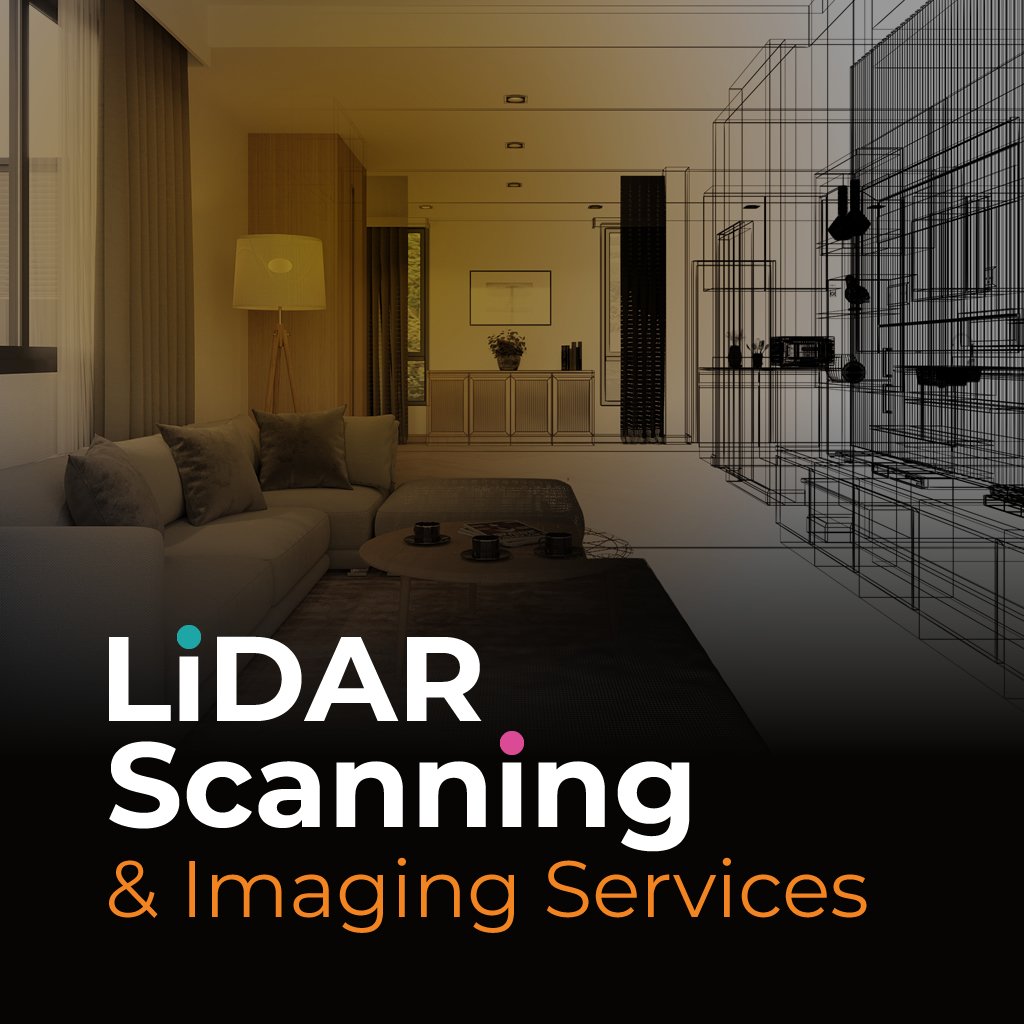

LiDAR site scanning in Fort Lauderdale provides accurate data collection for building analysis, site documentation, and urban planning. The system uses laser pulses to create a dense map of surfaces and structures, which is then used for modeling, assessments, or technical planning.
Whether you're working on property development or structural assessments, LiDAR site scanning Fort Lauderdale offers a time-efficient way to capture complex measurements. Its speed and accuracy are especially useful when working on large commercial areas, coastal properties, or dense urban environments.
We offer LiDAR site scanning Fort Lauderdale professionals can rely on for precision and efficiency. Our process captures millions of data points and transforms them into visual formats that support engineering, construction, insurance, and design workflows.
Each scan is handled by a trained team using high-resolution equipment, allowing us to deliver clear, usable files faster than traditional survey methods. Whether you're measuring structural damage or developing detailed layouts, we provide scalable services to fit your needs.
For reliable LiDAR site scanning Fort Lauderdale, our team is ready to help. Reach out to request fast, accurate data collection tailored to your project goals.