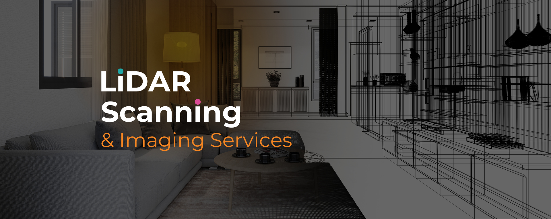
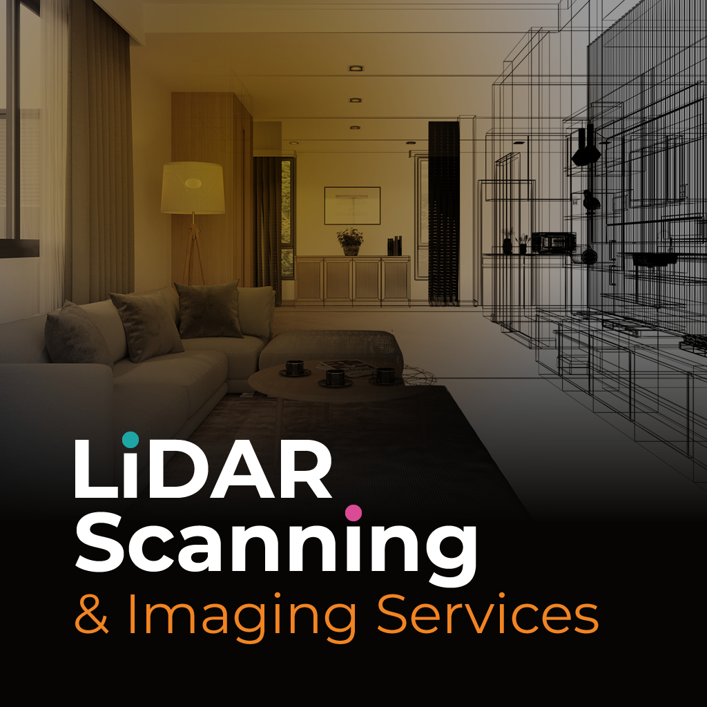
LiDAR site scanning is a precise method of gathering real-world spatial data by using laser pulses to measure physical environments. This technology creates accurate 3D models or floor plans that professionals use for design planning, documentation, and spatial analysis.
LiDAR site scanning Coconut Creek is often used in time-sensitive or complex projects where accurate measurements are essential. It eliminates the guesswork from site assessments and helps reduce on-site time. Whether for commercial property evaluations or structural layouts, this method supports faster, data-driven decisions.
At SightPlan 3D, we provide dependable LiDAR site scanning Coconut Creek for professionals seeking efficient and accurate spatial documentation. From basic floor plans to detailed construction-ready models, we tailor each scan to your project scope and deliver high-resolution results.
We use professional-grade equipment to capture millions of data points within minutes. These are then processed into usable formats such as REVIT, DWG, or interactive 360 tours. Our goal is to help you reduce project delays, meet compliance needs, and complete tasks with confidence.
Start your project with accurate data. Our LiDAR scanning service provides dependable results you can use immediately in planning, design, or documentation.