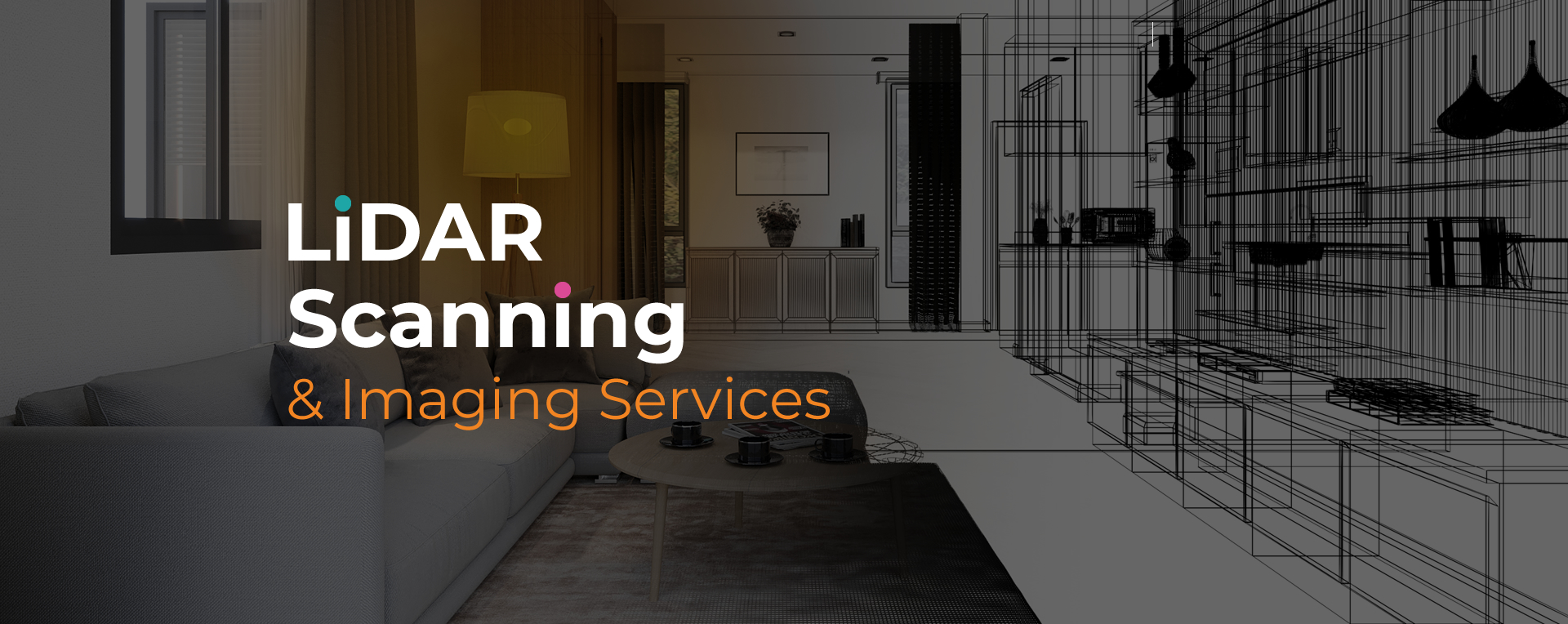
LiDAR scanning services in Parkland are used to collect highly accurate spatial data for residential, commercial, and industrial properties. This technology relies on laser measurements to generate precise 3D visuals and surface models, allowing professionals to assess, plan, or document physical spaces with speed and accuracy.
The application of LiDAR scanning services Parkland ranges from architectural planning to damage evaluations and real estate presentations. It captures small details often missed by manual methods. This helps reduce guesswork and supports more accurate decision-making, especially in projects where safety, design, and documentation are critical.
Our LiDAR scanning services Parkland deliver data you can rely on. We use high-resolution scanners to document properties in full detail, from building features to terrain layouts. Every scan is processed with accuracy in mind, supporting 3D tours, CAD files, and measurement-based outputs.
We tailor each project to your goals—whether you're working with large commercial spaces or need scans for insurance documentation. Our scanning process is efficient, contactless, and highly detailed, helping reduce field time while giving you access to reliable deliverables faster.
We offer dependable LiDAR scanning services Parkland property professionals can trust. Let us help you capture precise data, streamline documentation, and meet your deadlines. Contact our team to schedule a scan.