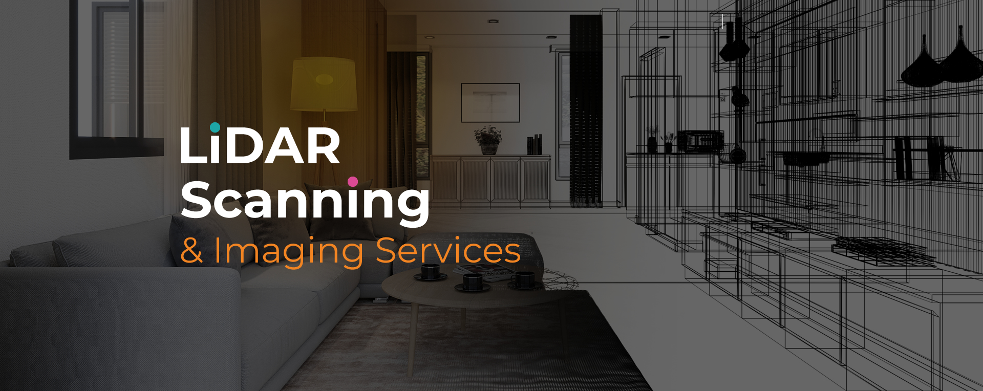
LiDAR scanning services in Coral Springs offer detailed, accurate spatial data for property analysis, development planning, and documentation. These services are often used in construction, insurance, real estate, and architecture, where precision matters. By using laser-based technology, LiDAR captures millions of measurements quickly, reducing the time required for traditional surveying.
LiDAR scanning services Coral Springs support projects of various sizes and types. From complex architectural layouts to damage documentation after storms, this method helps professionals reduce errors and improve planning. The technology produces clear, measurable 3D outputs, helping teams review conditions without being physically present at the site.
SightPlan 3D provides reliable LiDAR scanning services Coral Springs professionals can depend on for consistent and measurable results. We use high-resolution scanning tools that capture every detail, allowing you to work with accurate, project-ready data from the start.
Whether you need 3D models, floor plans, or CAD deliverables, our LiDAR scanning services Coral Springs are designed to support efficient workflows. We handle everything from initial consultation to final output, so you receive clear, usable files without delays. Our team focuses on fast delivery, precise measurements, and professional results.
Get the reliable data you need with our LiDAR scanning services Coral Springs. We’re ready to assist with accurate scans, fast turnaround, and professional deliverables. Contact us now to discuss your next project.